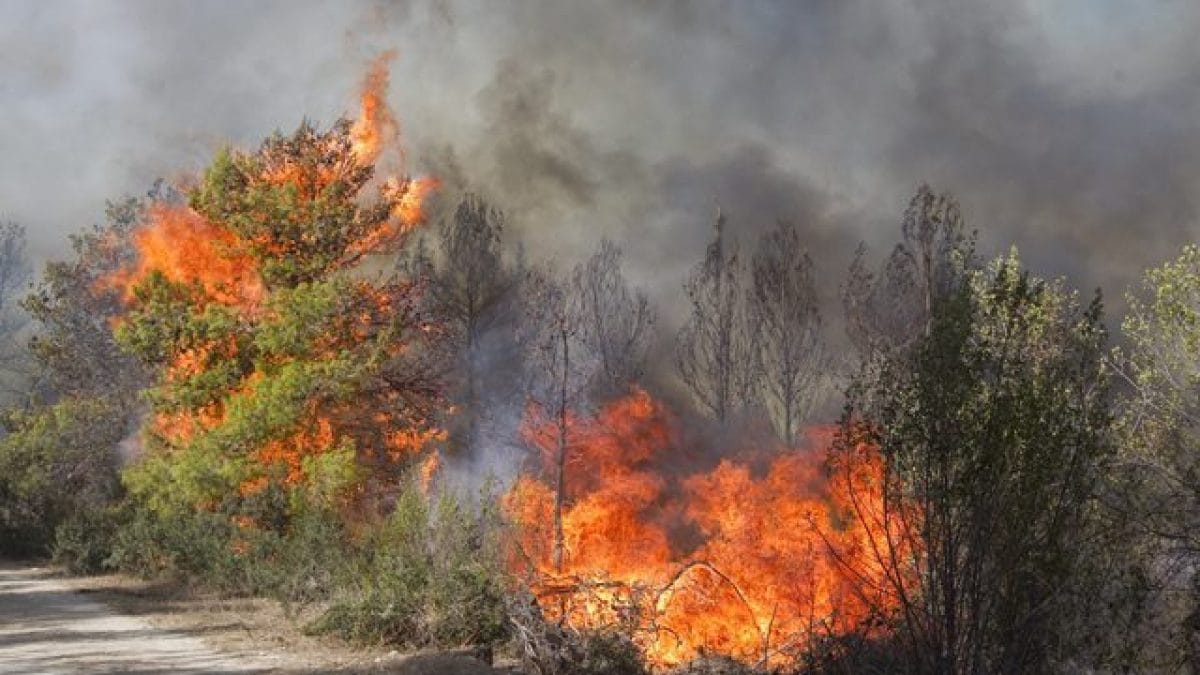
This summer, fires have devoured 425,000 hectares of forests in the EU: the countries most affected
The fires fueled by the "hyper-extreme" heat of recent weeks have destroyed almost half a million hectares of wooded areas in the countries of the European Union.
Between July e August the countries of the European Union have been devoured by the fire with 425,000 hectares of wooded territory. A dramatic fact that underlines the exceptional nature of this summer, characterized by a warm "hyper-extreme" Comparable to that recorded in 2003, when the estate was hottest ever. Scientists from the Copernicus Emergency Management Service (CEMS), a branch of the satellite program managed by the European Commission and the European Space Agency (ESA) monitors the risks associated with fires, floods, and droughts.
Based on data collected by the European information system on forest fires (EFFIS) linked to CEMS, among the countries most affected by the fires were those of the Iberian Peninsula, with 10 procedures of "Rapid Mapping"e 3 di"Risk and Recovery Mapping activations” in Spain e 6 di “Rapid Mapping activations” in Portugal.
These are exceptional measures that are activated in emergency conditions: "Rapid Mapping", for example, provides geospatial information within a few hours or days of a support request, to assist in the management of an emergency immediately after a disaster; the “Risk & Recovery Mapping” provides geospatial information to support Disaster Management activities, “including the phases of prevention, preparation, risk reduction, and recovery”, explains Copernicus.
Between 1 June and 31 August 2022, 3 Rapid Mapping procedures were activated for Italy: on 17 August on the island of Pantelleria on July 19 in Friuli Venezia Giulia, and on July 18 in Tuscany.
In the video shared on Twitter by CEMS, it is possible to see the evolution of the fires between 1 June and 31 August in the EU countries. Although the north of Portugal and north-western Spain are particularly affected, the number and extent of the fires that are seen appearing in Sicily, Calabria, and along the Tyrrhenian coast between Campania and Lazio.
Also significant are the coastal fires in Albania, Montenegro, Bosnia, and Croatia. The loss of hundreds of thousands of hectares of wooded areas has a significant impact on biodiversity global warming (through the release of carbon and the destruction of trees that hold him) and pollution, due to soot and ashes that are dispersed into the environment.
These substances are also capable of promoting it melting glaciers: the so-called "nerofumo” Which often obscures the glacial bodies is also composed of debris derived from fires carried by atmospheric phenomena. It can reduce the albedo - the ability to reflect the sun's rays - of icy/snowy surfaces, to accumulate additional heat and thus catalyze the melting, as evidenced by the great Forni Glacier in Lombardy.
Fires are also indirectly favored by climate change, creating a vicious circle. The rise in temperatures favors the Drought and the dry vegetation, more susceptible to the ignition and propagation of flames. Global warming also increases the risk of lightning storms, which can catalyze the likelihood of fire in susceptible territories. No wonder, according to a recent international study led by scientists from the University of Barcelona, it is estimated that by 2100 fires in the Mediterranean will be 40 to 100 percent more violent and widespread.


